Le séjour
De Conques à Cahors, le chemin de Saint Jacques de Compostelle vous emmène à travers la vallée du Lot avant de vous conduire sur les Causses du Quercy. Vous aurez l'occasion de découvrir, Figeac, la jolie cité de Champollion. Les spécialités gastronomiques locales vous mettront en appétit (truffe, vin...) après vos étapes de randonnée.
Les points forts
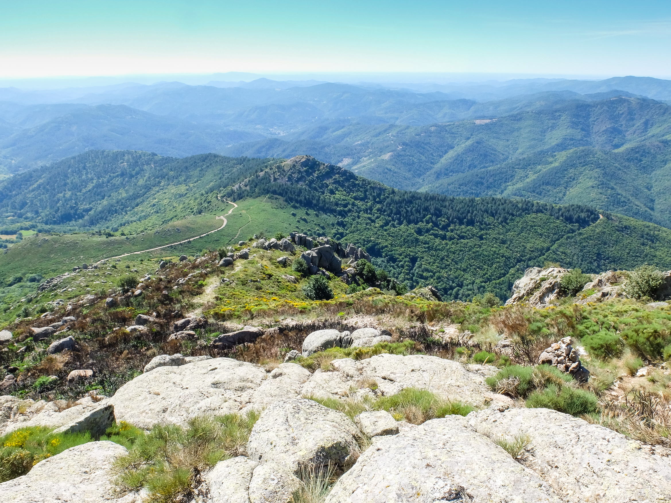
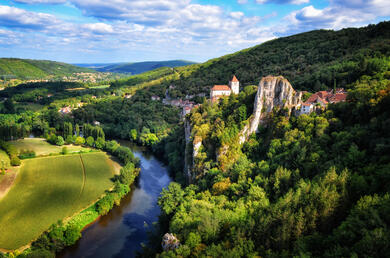
- Paysages des Causses du Quercy
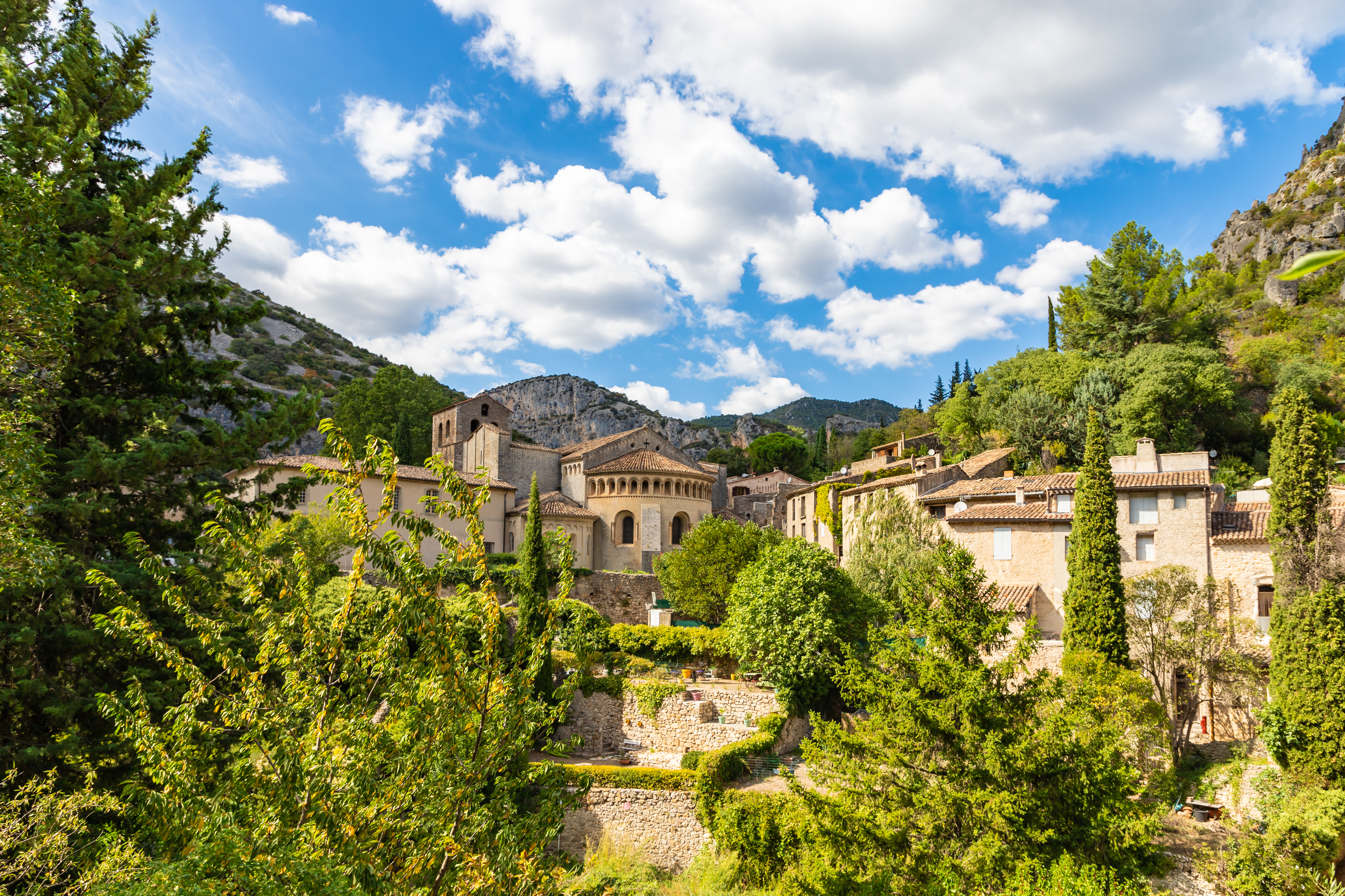
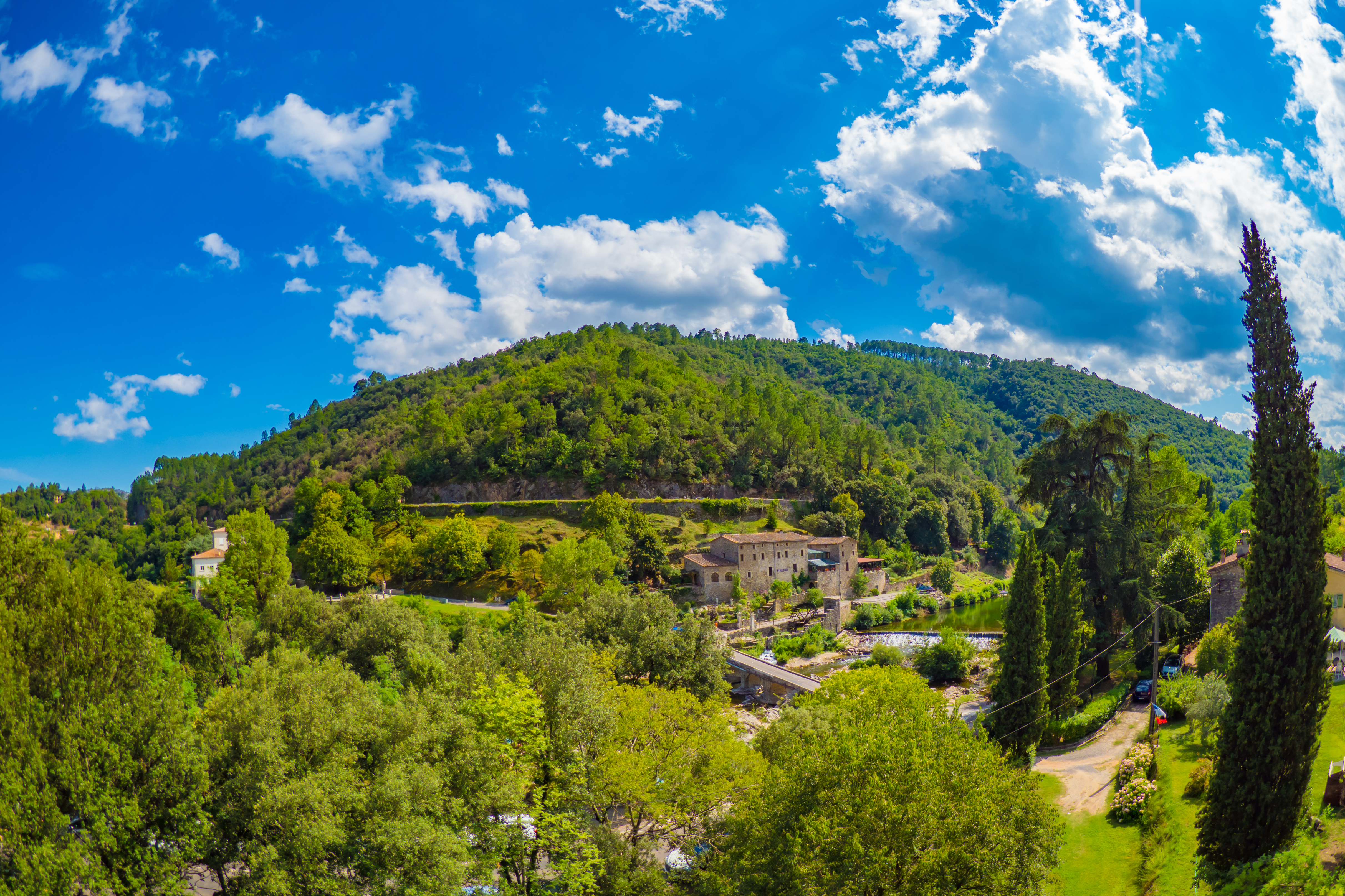
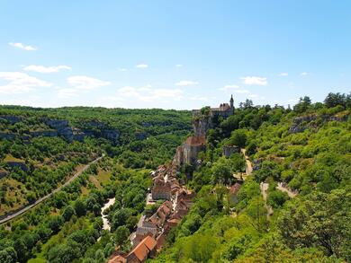
- Villages pittoresques de la Vallée du Lot
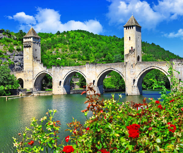
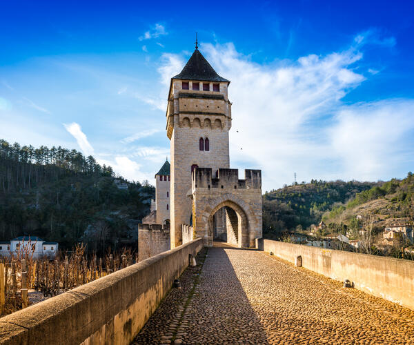
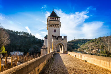
- Visite de Cahors et son célèbre Pont Valentré
Le jour / jour
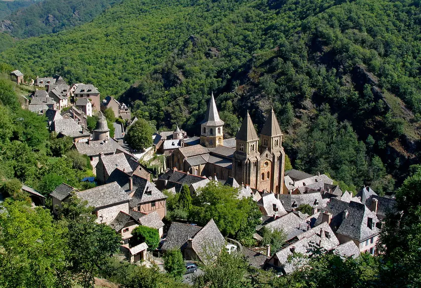
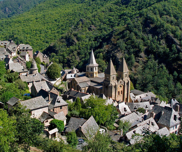
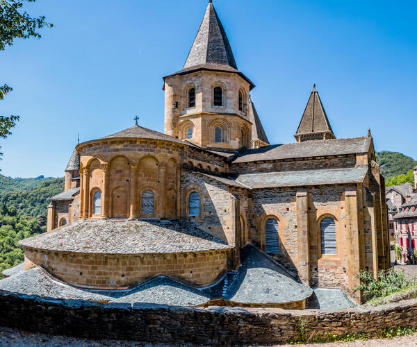
Conques.
Accueil et installation à Conques.
Conques - Livinhac le Haut ou Conques - Decazeville. 24 km ou 20 km
Passage par la Chapelle Sainte-Foy, lieu de pèlerinage, puis par la Chapelle Saint Roch qui nous conduit vers la Vallée du Lot.
Livinhac le Haut - Figeac ou Decazeville - Figeac. 26 km ou 29 km
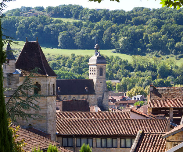
Marche vers Figeac, classée ville d'art et d'histoire. Vous découvrirez la vieille ville, ses ruelles sinueuses du Moyen Âge et ses maisons anciennes en grès.
Figeac - Cajarc. 30 km
On empruntera un sentier à flanc de coteau pour se diriger sur l'aiguille du Cingle puis Gréalou et son église romane.
Cajarc - Limogne en Quercy. 18 km
On quitte Cajarc, située dans un cirque de falaises calcaires, pour commencer la traversée du Causse de Limogne.
Limogne en Quercy - Lalbenque. 21.5 km
On rejoint Lalbenque, situé à la limite entre le Quercy Blanc et le Causse de Limogne. Le Quercy et ses spécialités vous mettrons en appétit : truffe noire, vin....
Lalbenque - Cahors. 18 km
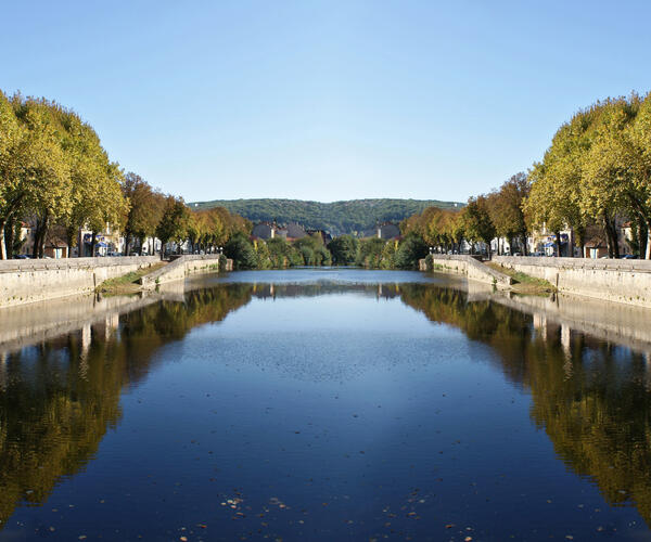
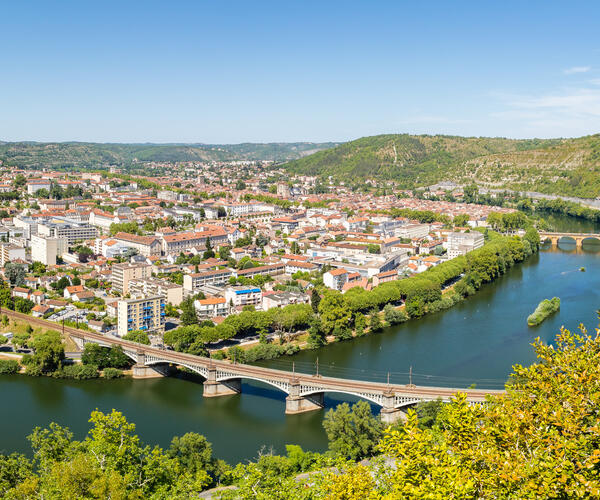
Dernière randonnée où l'on rejoint Cahors avec son pont Valentré et ses vignobles réputés.
Cahors.
Fin du séjour après le petit déjeuner.
Organisation
Gare SNCF de Saint Christope-Vallon ou Rodez et Cahors.
Hôtels 1*, 2** ou 3 *** chambre privative en gîtes et chambres d’hôtes.
La demi-pension, le transport des bagages (selon l'option choisie), la taxe de séjour et la mise à disposition du topo-guide (1 topo-guide par chambre réservée).
Le transport de votre domicile au point de rendez-vous et dispersion, les assurances, le pique-nique du midi, les boissons et dépenses personnelles, les navettes ou taxis pour récupérer votre véhicule et raccourcir certaines étapes, les frais de parking, les frais d’inscription (+15€ par personne), les frais d’envoi à l’étranger (+20 € par dossier), les frais de traitement prioritaire pour toute inscription à J-15 (+45€ par dossier).
Supplément chambre individuelle : 270 €
Formule dortoir/ chambre à partager possible
Navette retour Cahors / Conques : 45€ / personne
A partir d'octobre, une hausse des prix est à prévoir du fait de la basse saison pour le transport des bagages (nous consulter).
Date & prix
| Dates de départ | Prix/Pers. | Réservation |
|---|---|---|
| 01/04/2025 au 31/10/2025 | 800 € | Réserver |
Votre séjour 100% sur mesure !
Selon vos envies & vos critères


